Wander through the 17th-century Waterlooplein neighbourhood in 3D
Exhibition in Jewish Historical Museum
2 oktober 2020
The Waterlooplein neighbourhood formed the heart of the former Jewish district in Amsterdam. The exhibition tells stories from four hundred years of this neighbourhood’s history by means of photos, film footage, 3D reconstructions and objects. Who lived there? How and why did the residents come to stay in this neighbourhood? And how did they live their lives?
Answers to these questions were discovered in the 80s of the previous century, below ground, when the site lay fallow because of the construction of the Stopera. The municipal archaeological service dug up two housing blocks containing 100 cesspits, which contained not only food waste but also all sorts of household effects. Further research led to new insights into daily life, the diets and cultural backgrounds of the – predominantly Jewish – occupants of this neighbourhood in the seventeenth and eighteenth centuries.
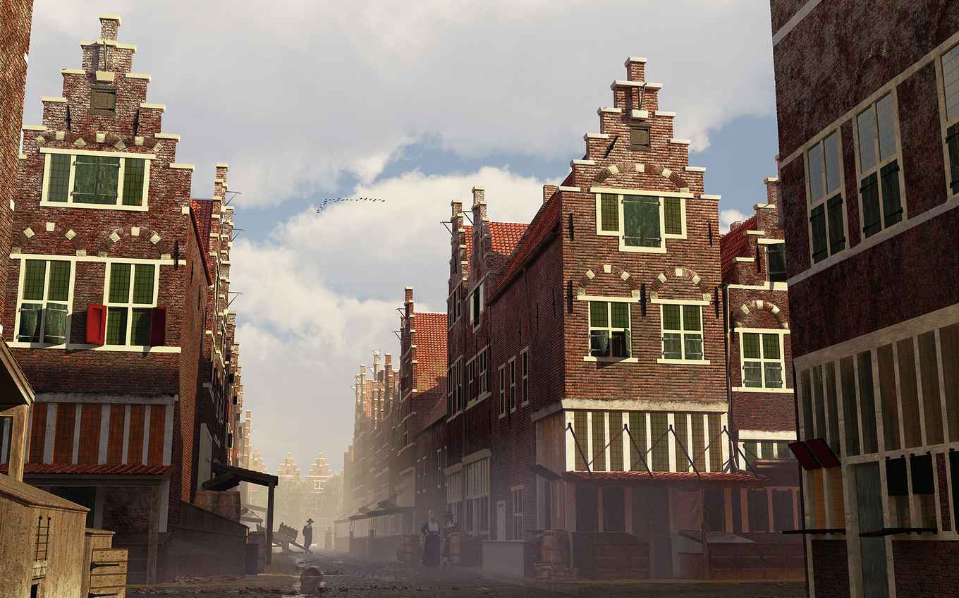
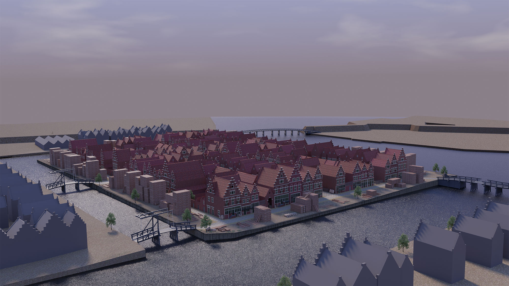
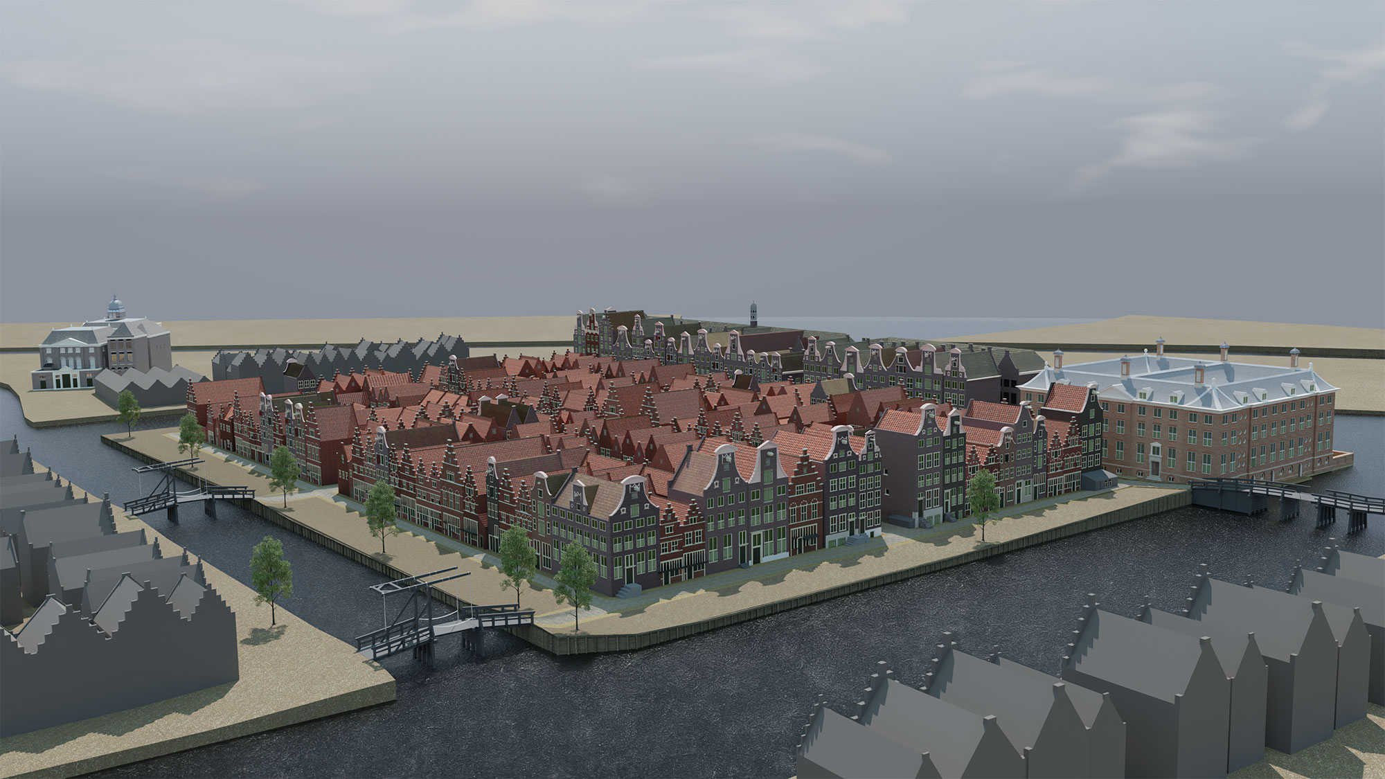
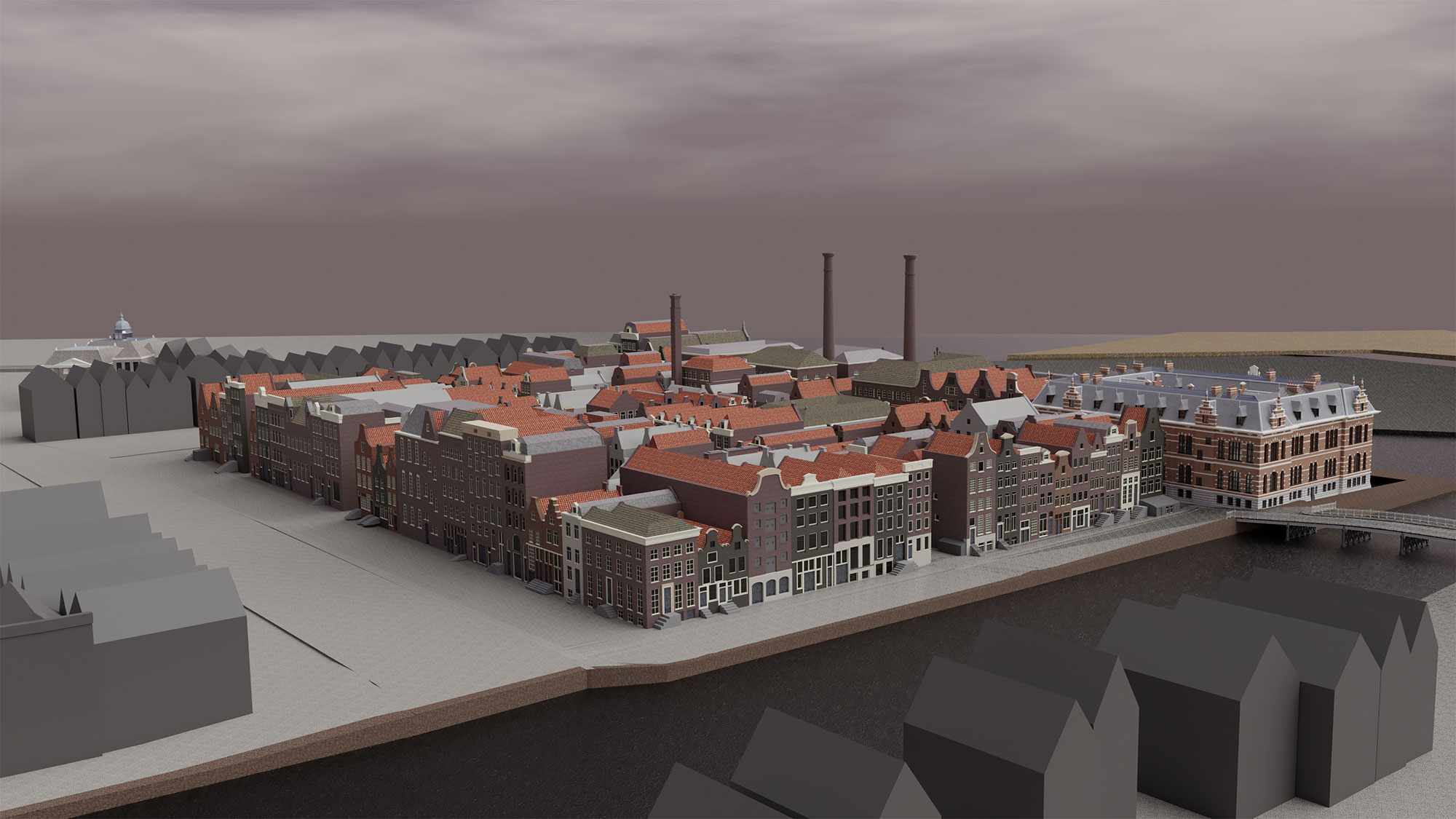
3D reconstruction of the neighbourhood
Researchers of the NWO project Diaspora and Identity and the 4D Research Lab contributed to this exhibition. Among others, they made a 3D reconstruction of what the islands Vlooienburg (where the Waterlooplein currently is) and Valkenburg (now the Valkenburgerstraat) must once have looked like. It allows visitors of the exhibition to wander through this seventeenth-century neighbourhood on touchscreens. The researchers also reconstructed a Jewish dining room dating to circa 1625.
The exhibition can be seen at the Jewish Historical Museum from 2 October 2020 through 28 February 2021.